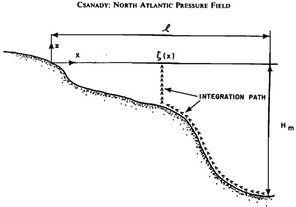
Figure 3 from Csanady (1979). Schematic cross section along a western boundary (x increasing eastward). The arrows identify the paths of density integration used to compute coastal steric setup. This blog post and the “Deep Dive” podcast, created by Google Notebook, are based on “Steric-Setup Effects on US East Coast Sea-Level Change” by Steinberg et... Continue Reading →
Why Sea Floor Density in the Open Ocean is the Key to US East Coast Flood Risk